


Find out more about our catalogs, technical documentation and publications
ARTIFICIAL TRACERS IN HYDROLOGY
The use of artificial tracers in hydrogeology is an effective tool for managing and preserving water resources and protecting the environment.
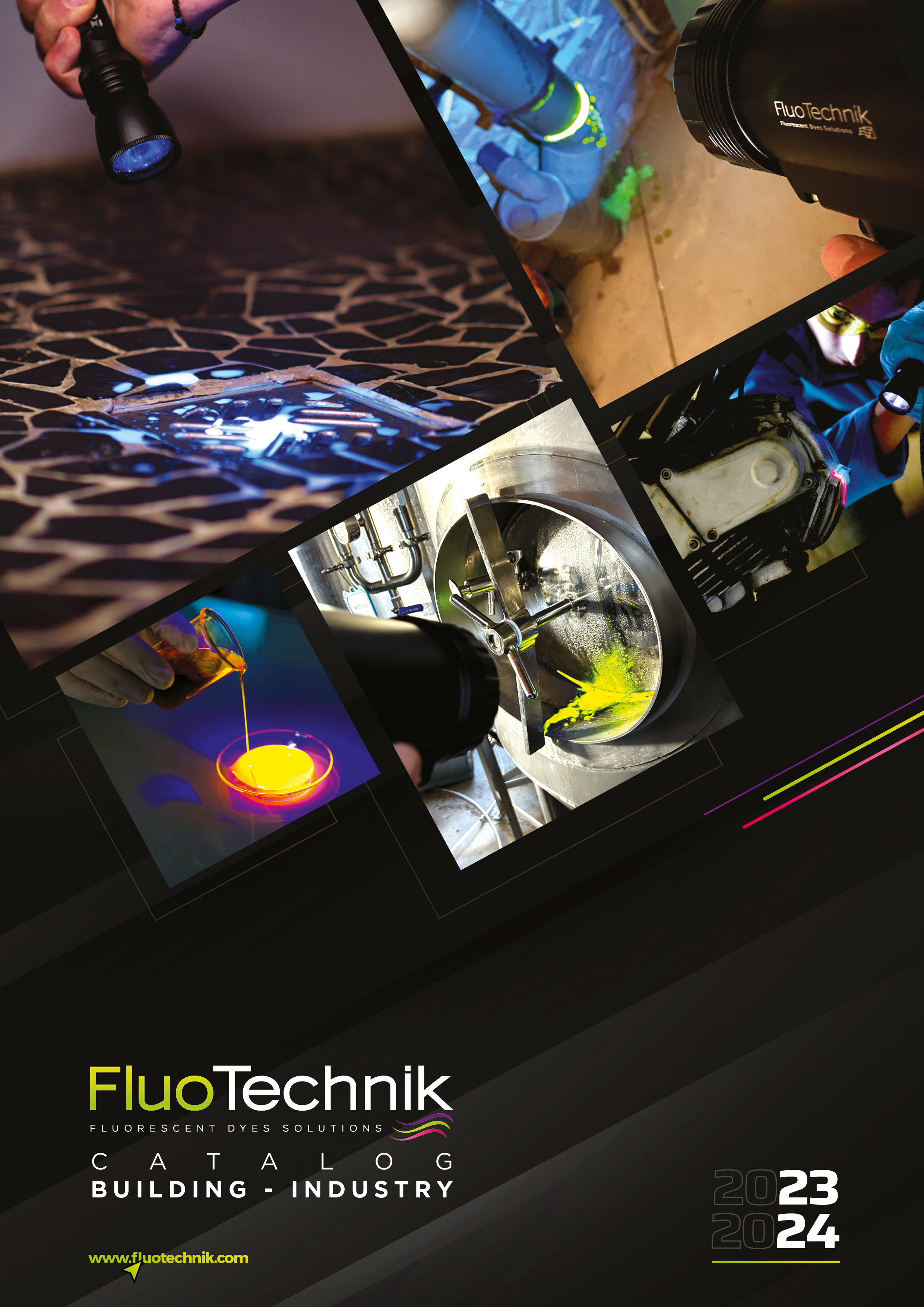
TRACING AND LEAK DETECTION SOLUTIONS
Find all our tracing solutions for water, oil and fuel leak detection, as well as for refrigeration and air filtration systems.
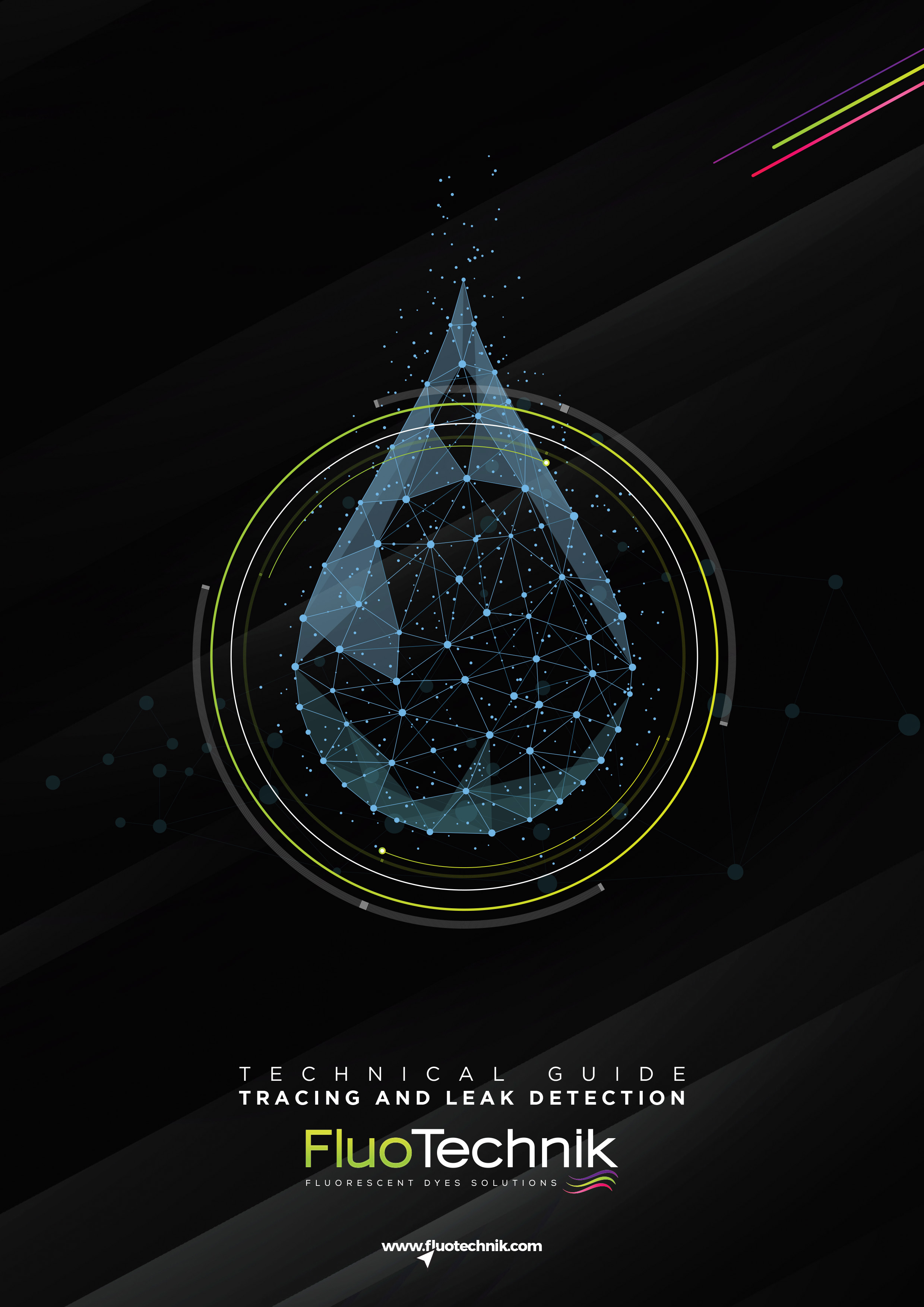
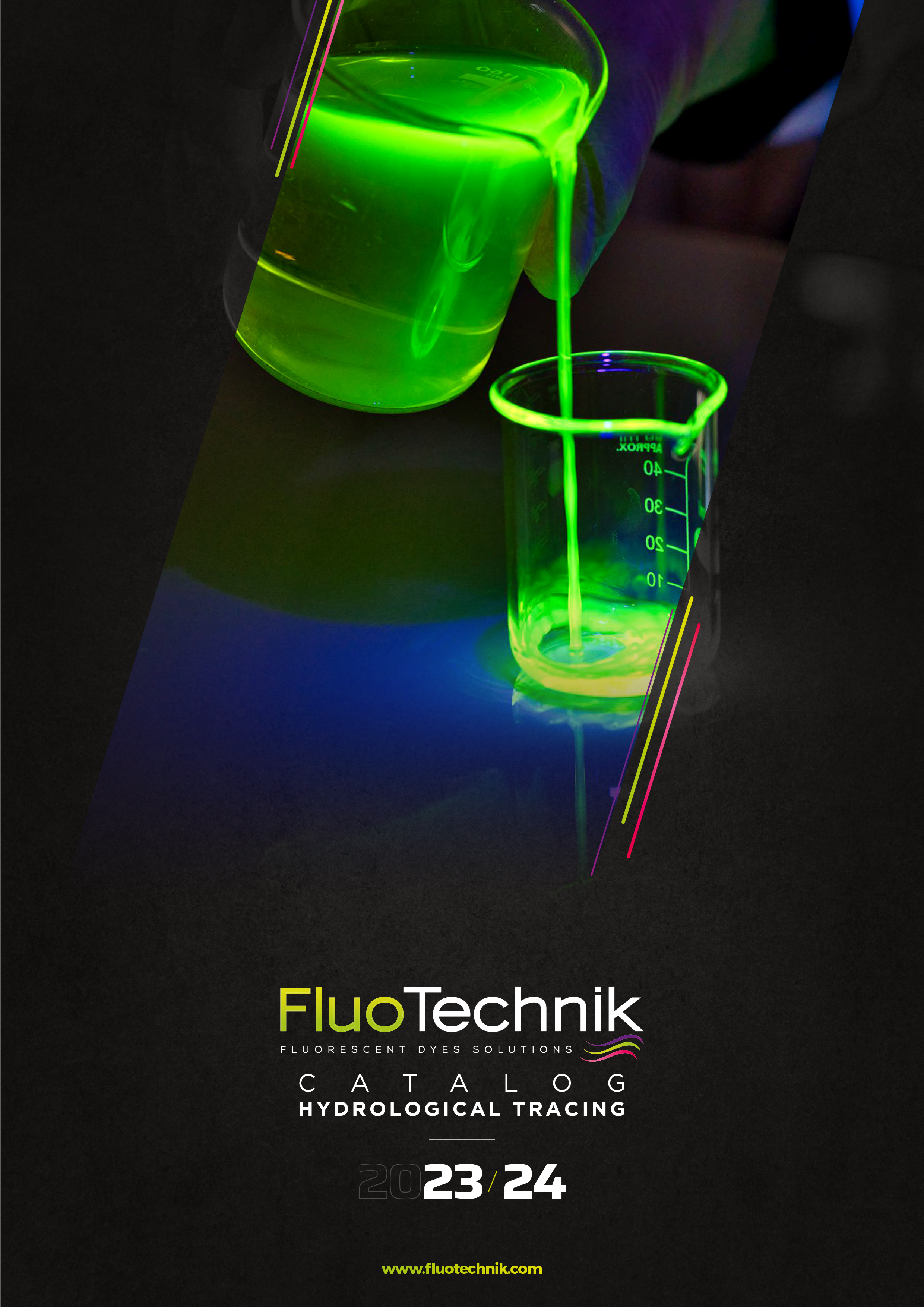
TECHNICAL GUIDE: TRACING AND LEAK DETECTION
Find all our recommendations for optimum use of our range of water products.
To find out more... in the world of hydrology
JUNE 2023
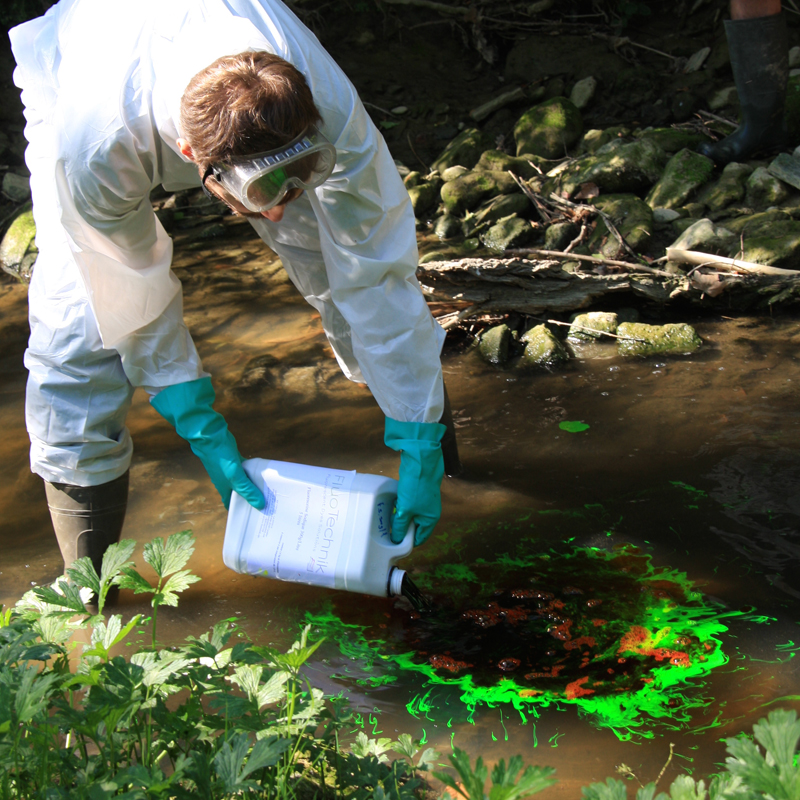
THE DIFFERENT APPLICATIONS IN HYDROGEOLOGY
Find out about the different types of application in our range, depending on the result you're looking for, and find the ideal product to match your objectives...
READ ARTICLE
JUNE 2023
APPLICATION OF TRACINGS
Before you start tracing, there are a few preliminary steps to ensure optimum results...
READ ARTICLE
APRIL 2023
FLUOTECHNIK: NEW RESEARCH PROJECT TO IMPROVE FLUORESCENT TRACERS FOR HYDROGEOLOGICAL TRACING
Fluotechnik is delighted to announce the launch of a new research project in partnership with the cobra laboratory (umr 6014, université de rouen normandie, insa rouen normandie, cnrs), Cetrahe, funded by the french biodiversity office (OFB).
READ ARTICLE
DECEMBER 2022
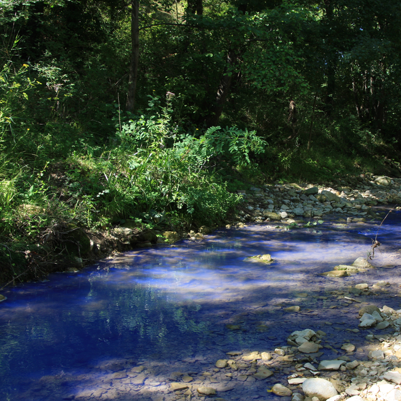
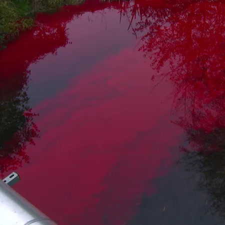
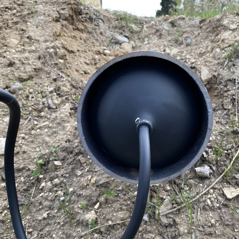
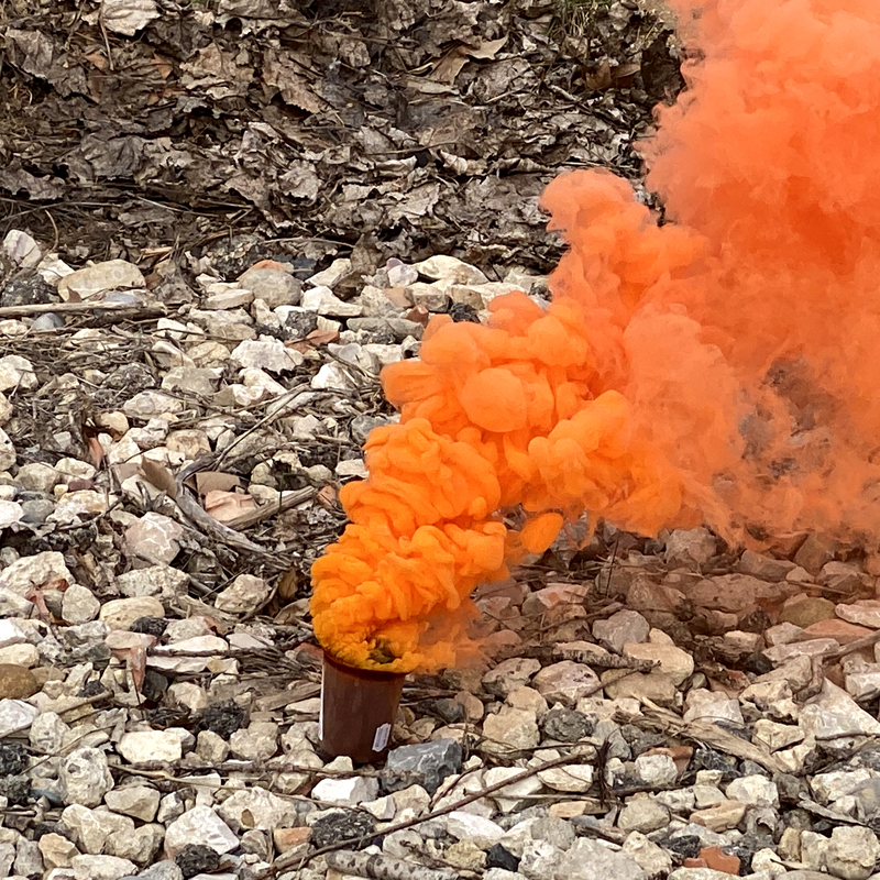
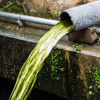
THE AUXANCE RIVER TAKES ON GREEN AND RED HUES FOR A HYDROGEOLOGICAL STUDY
The auxance river has taken on some strange colors in recent days. a beautiful neon green or a bright red have appeared. The operation, which is harmless to flora and fauna, should help us understand how the water table is recharged...
READ THE ARTICLE
February 2024
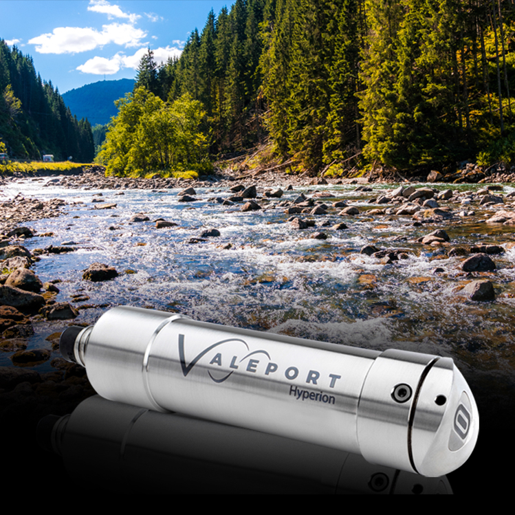
HYPERION FLUORIMETER SENSOR RANGE, THE INDISPENSABLE TOOL FOR YOUR NATURAL ENVIRONMENT TRACING OPERATIONS
Fluorimeters are essential equipment for professionals working in the fields of tracing, analysis, and monitoring of fluorescent tracers in natural environments. Designed to be easy to use, offering a user-friendly interface and features tailored to users' needs, fluorimeters are high-precision measuring instruments that allow for the detection and quantification of fluorescent tracer fluorescence.
READ THE ARTICLE
MARCH 2024
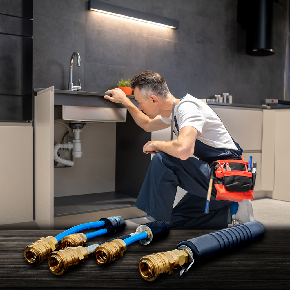
Mini Stopper Balloons: Plumbing, Swimming Pools, Waterproofing, Industry
Within the industry, construction, and hydraulics sectors, mini stopper balloons stand out as indispensable tools, greatly facilitating and securing the practices of detection and repair of leaks. Originally designed to meet the challenges of domestic plumbing, mini stopper balloons quickly expanded their application field to meet complex requirements in areas such as waterproofing coverage, swimming pools, and the industry.
READ THE article
BIBLIOGRAPHY
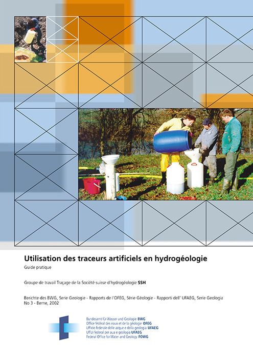
Use of artificial tracers in hydrogeology - Practical guide tracing working group of the swiss hydrogeological society ssh source : berichte des bwg, série géologie - Rapports de l'OFEG, série géologie - Rapporti dell' ufaeg, série géologia no 3 - Berne 2002
READ ARTICLE
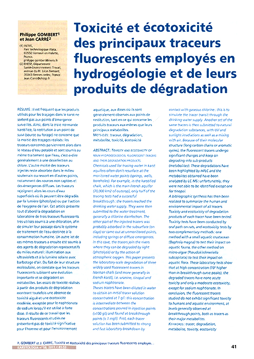
TOXICITY AND ECOTOXICITY OF THE MAIN FLUORESCENT TRACERS USED IN HYDROGEOLOGY AND THEIR DEGRADATION PRODUCTS
P. GOMBERT AND J. CARRE SOURCE: KARSTOLOGIA N°58,
2011 (41 À 53)
READ ARTICLE
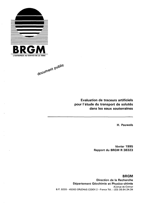
EVALUATION OF ARTIFICIAL TRACERS FOR THE STUDY OF SOLUTE TRANSPORT IN GROUNDWATER
H. BAUWELS SOURCE: BRGM REPORT R 38323, FEBRUARY 1995
READ ARTICLE
METHODOLOGICAL GUIDE KARST HYDROGEOLOGY TOOLS FOR CHARACTERIZING THE STRUCTURE AND FUNCTIONING OF KARST SYSTEMS AND ASSESSING THEIR RESOURCES
BRGM/RP-58237-EN MARCH 2010
READ ARTICLE
PROPOSAL FOR AN EVALUATION GRID FOR KARST TRACING RESULTS (USING FLUORESCENT TRACERS)
Tracing Working Group of the Swiss Hydrogeological Society SSH CFH - Colloque Hydrogéologie et karst au travers des travaux de Michel Lepiller May 17, 2008
READ ARTICLE
THE USE OF FLUORESCENT DYES AS TRACERS IN HIGHLY SALINE GROUNDWATER
Source: Journal of Hydrology (2008) 358, 124-133
READ ARTICLE
TO DEEPEN... IN THE FIELD
OF CONSTRUCTION AND INDUSTry
JUNE 2023
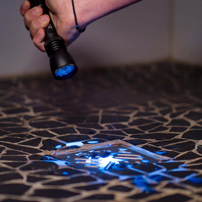
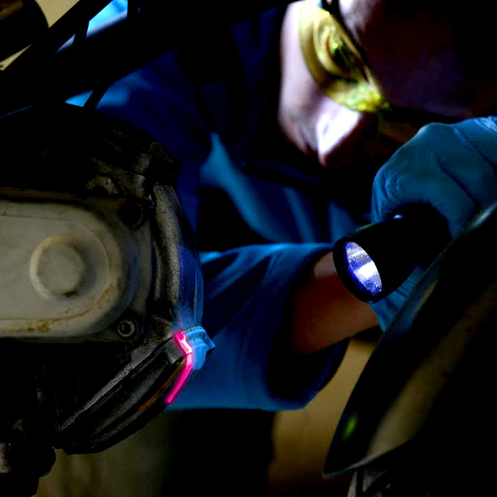
FLUORESCENCE: NON-DESTRUCTIVE PROOF OF LEAKS
In the world of building construction and maintenance, leak detection is a crucial task. Fluorescent tracers are emerging as a valuable non-destructive diagnostic tool, offering an efficient and accurate solution for locating leaks and finding their origin...
READ ARTICLE
JUNE 2023
INFLATABLE BALLOON SEALS: USES AND BENEFITS IN VARIOUS FIELDS
In the world of plumbing and water management, inflatable balloon valves are indispensable tools. These versatile devices offer a multitude of uses and benefits, making everyday tasks easier and more efficient...
READ ARTICLE
JUNE 2023
FUMIGANTS: A VERSATILE TRACING TOOL IN THE BUILDING INDUSTRY
In the world of pipe maintenance, fumigants have become an indispensable tool. Whether for mapping rainwater and wastewater pipes or locating the source of unpleasant odors, these devices offer an effective, fast and economical solution...
READ ARTICLE
NOVEMBER 2023
Sewer Network Improvement : Dye Tracing
Sanitation networks, mainly separative, are essential for the management of domestic wastewater. however, infiltrations of clear water, such as rainwater, pose a problem. To address this, communities conduct diagnostic studies. They have identified anomalies in private connections, resulting in unwanted discharges. Thus, improvement efforts now focus on the private sector.
READ article
DECEMBRE 2023
UV FLUORESCENT TRACERS IN OIL AND FUEL LEAK DETECTION: AN INDISPENSABLE SOLUTION!
At Fluotechnik, we understand the crucial importance of quickly and accurately detecting oil and fuel leaks in the fields of industrial maintenance, as well as in the automotive and agricultural machinery maintenance sectors. Our UV fluorescent tracers, such as Detect+ UV Oil Yellow and Red, are designed to meet this challenge!
READ THE article

JANuary 2024
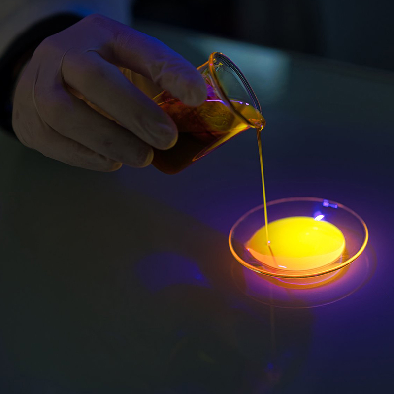
Fluorescence enlightens science: Understanding and using fluorescein
Fluorescence is a phenomenon as fascinating as it is widespread, illuminating many aspects of our world, from the deep wonders of nature to cutting-edge scientific applications.
READ THE article

FEBRUARY 2024
FLUORESCENT CONTRAST POWDER: A MUST-HAVE IN INDUSTRIAL SLEEVE FILTER MAINTENANCE
In the industrial sector, maintenance of filtration systems is crucial to ensure efficient and safe production. Sleeve filters, used to capture and filter fine particles in various industrial processes, require constant monitoring to prevent leaks that can compromise air quality and workplace safety...
READ THE ARTICLE